Urbanization Engineering
Our urbanization design service includes electrification, water resource, drainage, preliminary studies and topography networks design.
Topography
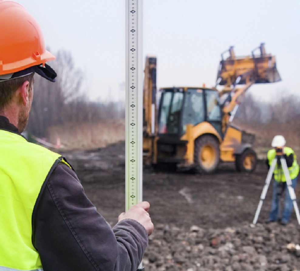
- Topographical Survey (Depth Contour)
- Demarcation and Subdivision Projects
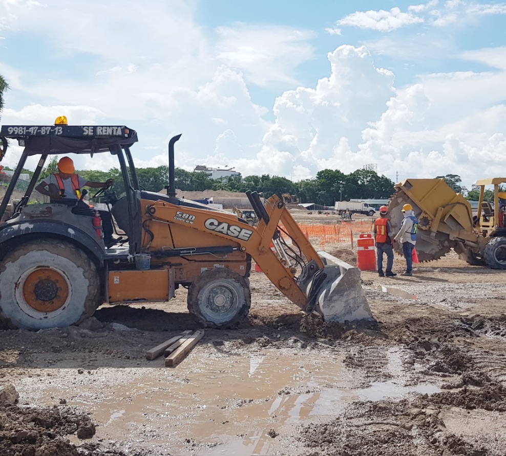
- Reconsideration of property topography after leveling and clearing natural site.
- Monitoring projects of dirt roads for street roads and urban projects platforms.
Urbanization Network Engineering
- Guidance and project management for the feasibility study processes that result in the definition of grids and connection spots for urbanization networking.
- Construction site definition, electrical connections and connection spots along with state organizations in order to give the investment project’s results an advantage.
- Executive potable water and drainage grid projects according to CAPA and AGUAKAN’s normativity and specifications, including government processes and paperwork to get authorization.
- This service also includes the Concepts Index elaboration with specifications and volumes for your tendering process.

Medium and Low Voltage Electrification
Feasibility studies, design specifications and executive projects according to CFE legal requirements, in order to create projects with quality that meet our local normativity that allows quick authorization process and a great viability for its construction; providing all the necessary elements for the technical and financial evaluation.

Potable Water and Drainage Networks
Feasibility studies and a complete water grid design with connection spots, that in coordination with CAPA ( State Regulations ) and AGUAKAN ( Municipal Operator ) will determine special connections required for the total project. All this, to bring support to specific necessities presented in each individual project according to their location regarding the urban area.
All projects meet the specifications and normativity at wholeness required for a guaranteed authorization.
Proyectos con las especificaciones y normatividad que cumplen al 100% los requerimientos para su autorización.

Preliminary Studies and Topography
Demarcation and topographic survey on natural field before leveling and clearing, locating possible anomalies in regional lands in order to determine any deviation that could affect the financial viability.
After leveling and clearing the natural site, topography over the rock is used to develop the altimetry executive project in which it will be determined the gradient and precision levels, in order to make financial benefits for the whole investment of the land development.